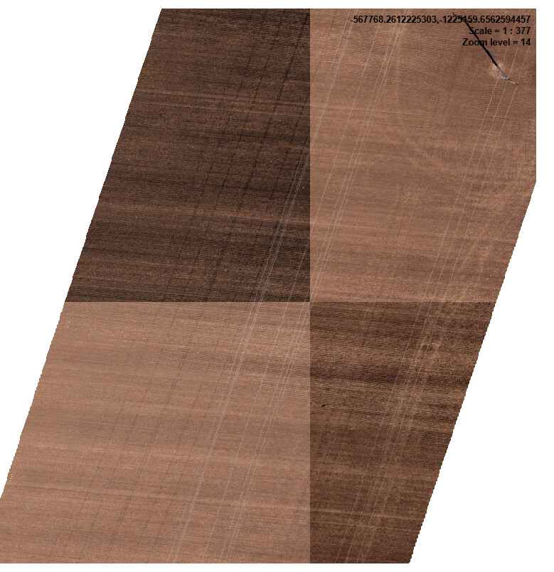
I am struggling with serving orto imagery using GeoServer. I have dozens of geotif files: 16 bits pixels with 3 bands (rgb) and NoData set to hide pixels outside given vector boundary. It is being shown corectly in QGIS and ArcGIS but after creating a mosaic in GeoServer I get the anoying contrast stretch in large scales. The thing is that this contrast streching is being done not file by file but tile by tile during caching process.
After coverting it to 8 bits 4 bands geotiffs there is no change.
I have no entry in my SLD file.
How to get rid of that effect?
Thanks, Bart