Hello,
From all the examples of geoserver’s raster layer I’ve seen, it looks like if you zoom in enough, you’ll always arrive at the limit of “smoothness” and be able to see the individual cells.
I’d like to find a way to be able to “increase” the number of cells when you zoom in, and assign each cell an interpolated color, so that no matter how zoomed in you are, you will never see that pixelized cells. I’m wondering if is possible to use wms_scale_denominator in the sld, but I havent seen a working example.
In the end, I’d like to achieve something a little bit as smooth as apps like windy.com. Is it something that would be possible with geoserver?
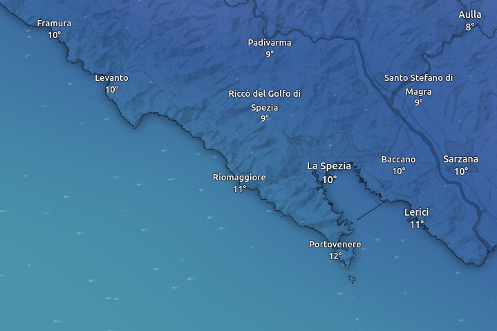
My guess looking at windy.com is that they have one high resolution raster layer, and at one point they just stop showing it, see here, before and after zooming in:

In order to get smoother images when you go past native resolution, you can enable bilinear or bicubic interpolation on the layer, but yes, eventually it will be not hard to see the shape of the original pixels, those are pixel interpolation algorithms, not sparse point interpolation ones.
Having spare points interpolation for the raster rendering chain, to give uses an impression of “infinite resolution” has been requested a few times, but nobody came up with the funding to implement it (it’s also problematic in the sense that you’re visually selling what you don’t actually have).
In case you can do the coding yourself, or can come up with funding to support the development, here is the process you can follow:
Cheers
Andrea
1 Like