Hi all,
I’m looking for world boundary datasets providing a “de jure” (legal) view of border given a specific target country (I know, difficult topic given the many disputed areas in the world).
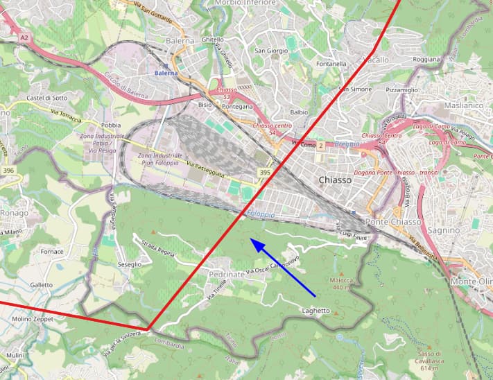
I know that Natural Earth provides such view at 1:10M, and that’s just great… but it’s not detailed enough for a high resolution case, here is an example comparing the actual border in Chiasso Italy, with the one provided by NE:
Thinking out loud, I considered that maybe I could get a detailed view from a national cartographic institute. As an example, I tried to find the world boundaries from the point of view on India, usable for high resolution cartography… but could not find any downloadable dataset for it.
Pheraphs it’s a language barrier? Or maybe it’s a data distribution issue, and such data is just not freely available?
Anyone here has experience in the matter?
Cheers
Andrea