Hi all,
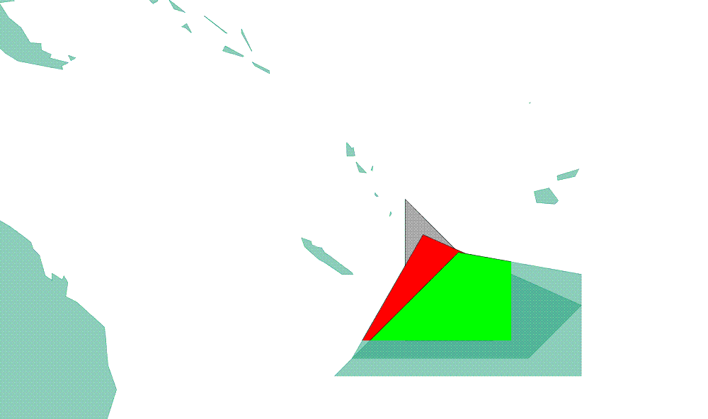
I paint polygon geometries on a map. In WFS it’s perfect, but with WMS my polygons are truncated ( the same problem appears with point …)
If in the SLD I use a image for point symbolyser, the picture is also trucated…
<<screenshot.GIF>>
What can I do to resolve this problem??
Simon