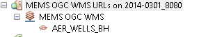
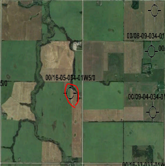
I just started to learn how to setup goeserver in my workstation and publish WMS layers, I can successfully see the WMS layer map in ArcGIS Desktop, ArcGIS Pro and Global Mapper. Please see example from ArcGIS Desktop
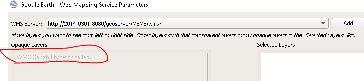
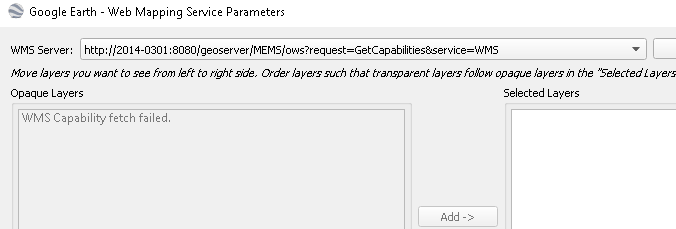
But in Google Earth, I keep getting “WMS Capability fetch failed” message. Does anyone know why and how I can fix it?
I just started to learn how to setup goeserver in my workstation and publish WMS layers, I can successfully see the WMS layer map in ArcGIS Desktop, ArcGIS Pro and Global Mapper. Please see example from ArcGIS Desktop
But in Google Earth, I keep getting “WMS Capability fetch failed” message. Does anyone know why and how I can fix it?
From: Vitor Fonseca <vfonsecaz@…84…> Sent: September 24, 2021 2:45 AM To: Daniel Yu <dyu@…11085…> Cc: Olivier Gagnon <mcnolii@…95…>; geoserver-users@lists.sourceforge.net Subject: Re: [Geoserver-users] WMS layer in Google Earth failed
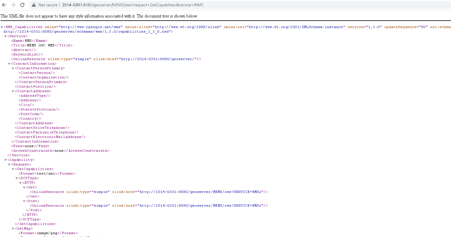
in getcapabilities you should have something like…
I just started to learn how to setup goeserver in my workstation and publish WMS layers, I can successfully see the WMS layer map in ArcGIS Desktop, ArcGIS Pro and Global Mapper. Please see example from ArcGIS Desktop
But in Google Earth, I keep getting “WMS Capability fetch failed” message. Does anyone know why and how I can fix it?
Thanks,
Daniel
Geoserver-users mailing list
Please make sure you read the following two resources before posting to this list:
Yes network link can be vector format as long as you use a wfs url with output format kml (application%2Fvnd.google-earth.kml%2Bxml)
e.g.
http://<geoserver_url>/ows?SERVICE=WFS&Request=GetFeature&VERSION=1.3.0&TYPENAME=workspace:layer_namet&outputFormat=application%2Fvnd.google-earth.kml%2Bxml
Daniel Yu <dyu@anonymised.com> escreveu no dia sexta, 24/09/2021 à(s) 15:34: