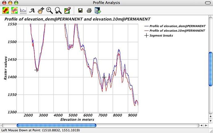
The wxPython plot control has quite a few options for customization that I’m using to enhance the new wxgrass profiling module. At the moment, you
can customize the title and axis legends, and text font, zoom and drag to focus on particular parts of a profile, and profile up to 3 raster maps simultaneously. I’ve added a screenshot by way of example.
I hope to add customization for profile lines, segment markers, grid, and axis scales to make this a more flexible terrain analysis tool.
Michael
Michael Barton, Professor of Anthropology
School of Human Evolution & Social Change
Center for Social Dynamics & Complexity
Arizona State University
phone: 480-965-6213
fax: 480-965-7671
www: http://www.public.asu.edu/~cmbarton
