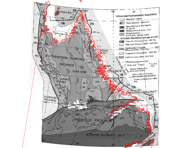
What is the best approach to take when georectifying a scanned, projected map (but the projection is unknown)? Is it necessary to georectify the map first into a lat-long location and then r.proj the map into a target projection? This is the method I used, using 20 GCPs (reading lat-long graticule intersections from the map) and a cubic rectification, but there is still a lot of error (see attached; I overlaid the GSHHG coastline for comparison).
I’m not sure if I am going about this the correct way.
On Fri, May 13, 2016 at 9:42 AM, Eric Patton <thepattonian@gmail.com> wrote:
Hi list,
What is the best approach to take when georectifying a scanned, projected
map (but the projection is unknown)? Is it necessary to georectify the map
first into a lat-long location and *then* r.proj the map into a target
projection? This is the method I used, using 20 GCPs (reading lat-long
graticule intersections from the map) and a cubic rectification, but there
is still a lot of error (see attached; I overlaid the GSHHG coastline for
comparison).
I'm not sure if I am going about this the correct way.
I don't have too much experience with this, but I think it's a good
approach. But you also need to know the ellipsoid, not sure if that
could cause the misalignment.
On Fri, May 13, 2016 at 10:48 AM, Anna Petrášová <kratochanna@gmail.com>
wrote:
>> I'm not sure if I am going about this the correct way.
>
>I don't have too much experience with this, but I think it's a good
>approach. But you also need to know the ellipsoid, not sure if that
>could cause the misalignment.
>
>Anna
Thanks, I have assumed WGS84, where the map was made in 2002; I'll also try
NAD27 as that is not uncommon in the region.
If you have a good coastline map, can you just geo-rectify the new map to it using coastline features as GCPs? Then it’ll have the same projection as the coastline layer and you can re-project it to your working projection.
I’m not sure if I am going about this the correct way.
I don’t have too much experience with this, but I think it’s a good
approach. But you also need to know the ellipsoid, not sure if that
could cause the misalignment.
Anna
Thanks, I have assumed WGS84, where the map was made in 2002; I’ll also try NAD27 as that is not uncommon in the region.