Hello,
I try to represent the volume (raster3D) between these two surfaces in nviz
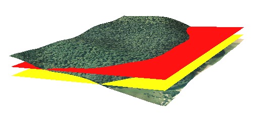
There is no problem to represent it in Paraview (exporting the raster3D with r3.out.vtk )
The raster 3D
r.to.rast3elev --overwrite -l input=one,two elevation=sup,base output=volpend
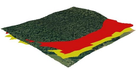
That gives for the raster 3D
Range of data: min = 1 max = 2
That gives me the threshold values in Paraview (with r3.out.vtk -s null=0.0 input=volpend output=volpend.vtk bottom=base top=sup)
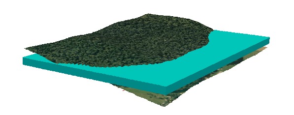
But nothing in nviz when I try 1 and/or 2 (levels of isosurfaces) or the true elevations
So, Is it possible to represent this volume in nviz (like in Paraview) and if so how ?
I can reproduce the examples of the tutorials but I realize that I do not understand the principles…
Thank you in advance
Martin Laloux