Dear community
I would like to plot boxplots from a raster _pres_apple_spring_merged for different 1 km2 squares (38 squares, Fig. 1, layer “Untersuchungsquadrate”). I was using the same code as used before for 12 regions:
https://ecodiv.earth/post/drawing-boxplots-of-raster-values/ (Author Paulo van Breugel). All layers have the same projection (EPSG:2056, CH1903+/LV95). However, when loading the layer squares (Untersuchungsquadrate) GRASS GIS was asking for reprojection.
- I got now a warning message, that I have a lot of categories, however, the modelling time was fast (Fig 2)
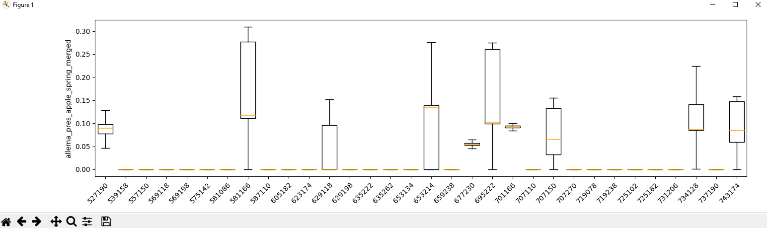
- The error is now, that the boxplot is not showing all squares (e.g. ID_Quadrat 803174) and the boxplots are assigned to the wrong square (ID_Quadrat) (Fig. 3)
Kind regards
Sibylle Stöckli
Fig. 1
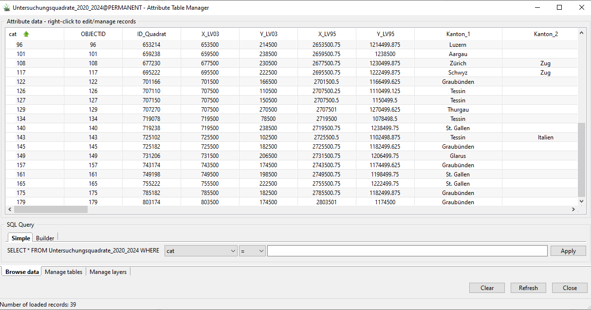
Fig. 2
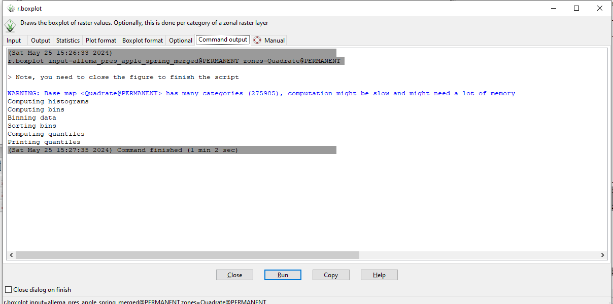
Figure 3