Hi Achim,
i usually produce the river network starting from the flow accumulation, not from the flow direction. If you have a raster elevation map you can get it using r.watershed.
Then, i make as follows:
r.mapcalc 'log_accumulation=log(abs(accumulation)+1)'
r.mapcalc 'inf_river=if(log_accumulation>6)'
6 is a treshold value for the log_accumulation, it is a good value for me but you maybe can try other values. It produces a binary map.
Then:
Raster -> Transform features -> Thin linear features to reduce at 1pixel the lines of the binary raster inf_river and create the new file in_river.
Finally, with r.to.vect you can transform the raster in_river in a vector map.
Hope this helps
Margherita
Message: 8
Date: Wed, 20 May 2009 16:45:56 +0200
From: achim <ak7@jupiter.uni-freiburg.de>
Subject: [GRASS-user] IN: raster-flow-direction OUT:vector-network?
To: grass-user <grass-user@lists.osgeo.org>
Message-ID: <4A1417A4.3040701@jupiter.uni-freiburg.de>
Content-Type: text/plain; charset="iso-8859-15"Hello,
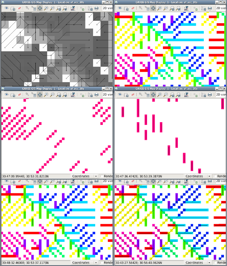
I am searching for a good idea to convert a raster-flow-direction map
into a vector-network map.Probably I will have to write a script. If it is possible at all...
In case of writing a script it mean to me: how to produce a line within
r.mapcalc?Has anyone a hint?
Cheers,
achimPS:for illustration I attached a little picture
-------------- next part --------------
A non-text attachment was scrubbed...
Name: rasterflow-to-network.png
Type: image/png
Size: 5162 bytes
Desc: not available
Url : http://lists.osgeo.org/pipermail/grass-user/attachments/20090520/6198f353/rasterflow-to-network.png------------------------------
_______________________________________________
grass-user mailing list
grass-user@lists.osgeo.org
http://lists.osgeo.org/mailman/listinfo/grass-userEnd of grass-user Digest, Vol 37, Issue 35
******************************************
--
Ing. Margherita Di Leo
Ph.D. Student Methods and Technologies for Environmental Monitoring
Department of Environmental Engineering and Physics (DIFA)
University of Basilicata Campus Macchia Romana
85100 - Potenza Italy
Office: +39-0971205363
Fax: +39-0971205160
E-mail: dileomargherita AT gmail DOT com
Skype: dileomargherita
URL: http://www.difa.unibas.it/A_Manager_PP.do?azione=visualizzaHomePage&id=106