QGIS version
3.44.7-Solothurn
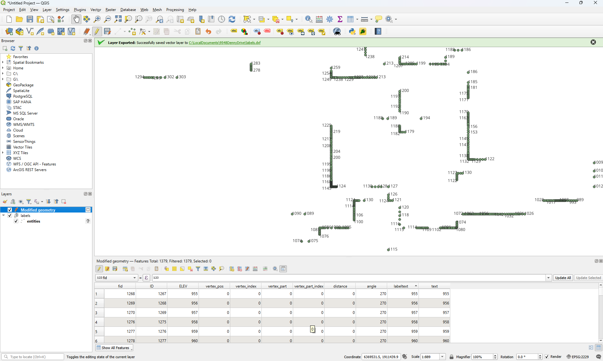
I have this layer in 2229 co-ordinates with labels turned on…. I need to get the labels out as DXF… So far nothing I did has worked. Is there a way to get the text exported into DXF in the assigned co-ordinate system?
QGIS version
3.44.7-Solothurn
I have this layer in 2229 co-ordinates with labels turned on…. I need to get the labels out as DXF… So far nothing I did has worked. Is there a way to get the text exported into DXF in the assigned co-ordinate system?
Is this what you are looking for?
https://ukcommunity.arkance.world/hc/en-us/articles/21549907632274-QGIS-to-CAD-Export-Labels-to-CAD
On Tue, Feb 24, 2026 at 12:59 AM Prusso630 <noreply@discourse.osgeo.org> wrote:
prusso630
February 24QGIS version
3.44.7-SolothurnI have this layer in 2229 co-ordinates with labels turned on…. I need to get the labels out as DXF… So far nothing I did has worked. Is there a way to get the text exported into DXF in the assigned co-ordinate system?
Visit Topic or reply to this email to respond.
To unsubscribe from these emails, click here.