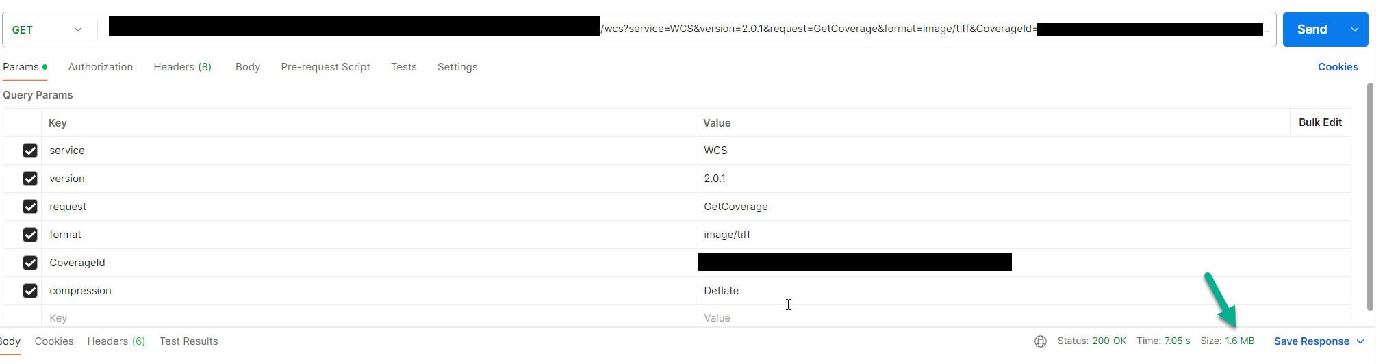
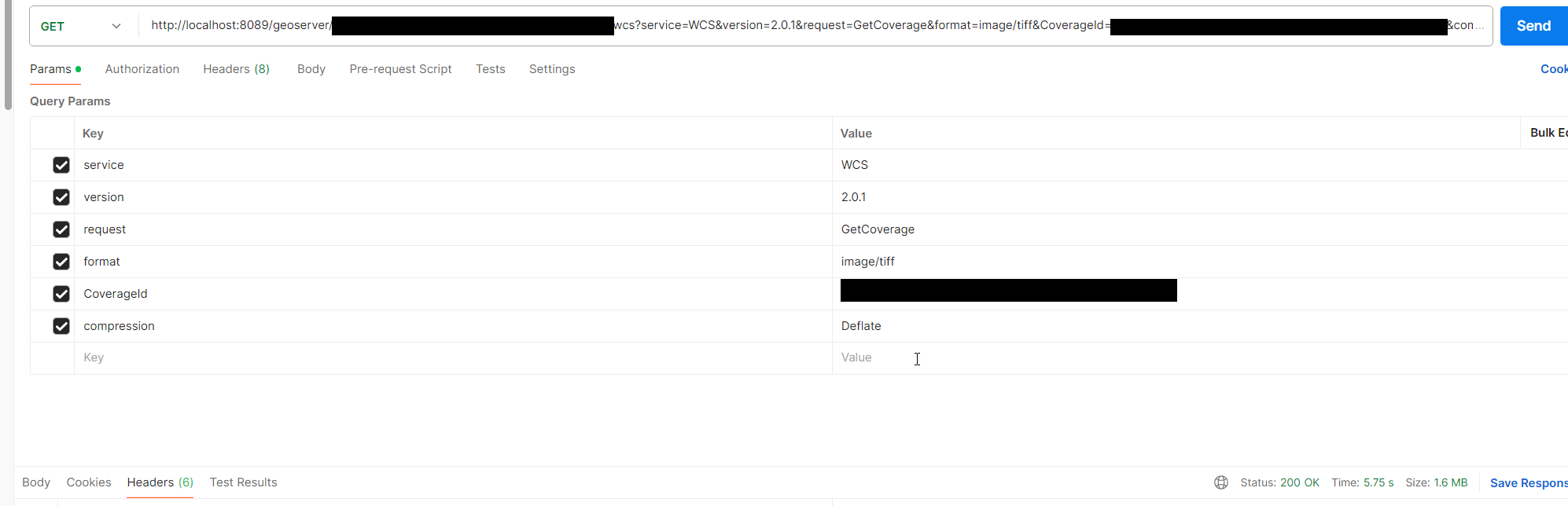
Thanks for answers, I tried Index of /geoserver/2.26.x/ → geoserver-2.26.x-2025-03-20-bin.zip and its working, GetCoverage with compression deflate gives same results as version 2.24.1
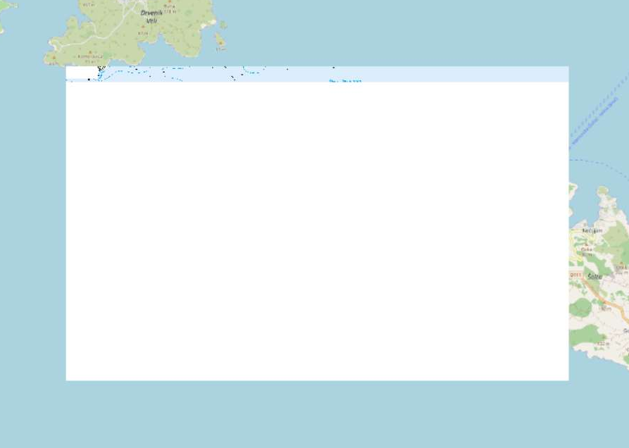
Here is gdalinfo from problematic geoTiff:
Driver: GTiff/GeoTIFF
Files: D:\25-1-116-8 Biograd nm.tif
Size is 7500, 5000
Coordinate System is:
PROJCRS["HTRS96 / Croatia TM",
    BASEGEOGCRS["HTRS96",
        DATUM["Croatian Terrestrial Reference System",
            ELLIPSOID["GRS 1980",6378137,298.257222101,
                LENGTHUNIT["metre",1]]],
        PRIMEM["Greenwich",0,
            ANGLEUNIT["degree",0.0174532925199433]],
        ID["EPSG",4761]],
    CONVERSION["Croatia Transverse Mercator",
        METHOD["Transverse Mercator",
            ID["EPSG",9807]],
        PARAMETER["Latitude of natural origin",0,
            ANGLEUNIT["degree",0.0174532925199433],
            ID["EPSG",8801]],
        PARAMETER["Longitude of natural origin",16.5,
            ANGLEUNIT["degree",0.0174532925199433],
            ID["EPSG",8802]],
        PARAMETER["Scale factor at natural origin",0.9999,
            SCALEUNIT["unity",1],
            ID["EPSG",8805]],
        PARAMETER["False easting",500000,
            LENGTHUNIT["metre",1],
            ID["EPSG",8806]],
        PARAMETER["False northing",0,
            LENGTHUNIT["metre",1],
            ID["EPSG",8807]]],
    CS[Cartesian,2],
        AXIS["(E)",east,
            ORDER[1],
            LENGTHUNIT["metre",1]],
        AXIS["(N)",north,
            ORDER[2],
            LENGTHUNIT["metre",1]],
    USAGE[
        SCOPE["Cadastre, engineering survey, topographic mapping (large scale)."],
        AREA["Croatia - onshore."],
        BBOX[42.34,13.43,46.54,19.43]],
    ID["EPSG",3765]]
Data axis to CRS axis mapping: 1,2
Origin = (409999.999999999068677,4870000.000000000000000)
Pixel Size = (2.000000000000000,-2.000000000000000)
Metadata:
  TIFFTAG_DATETIME=2020:06:29 09:03:29
  TIFFTAG_XRESOLUTION=300
  TIFFTAG_YRESOLUTION=300
  TIFFTAG_RESOLUTIONUNIT=2 (pixels/inch)
Image Structure Metadata:
  COMPRESSION=PACKBITS
  INTERLEAVE=BAND
Corner Coordinates:
Upper Left  (  410000.000, 4870000.000) ( 15d22'42.43"E, 43d57'52.12"N)
Lower Left  (  410000.000, 4860000.000) ( 15d22'48.51"E, 43d52'28.15"N)
Upper Right (  425000.000, 4870000.000) ( 15d33'55.26"E, 43d57'58.17"N)
Lower Right (  425000.000, 4860000.000) ( 15d34' 0.33"E, 43d52'34.18"N)
Center      (  417500.000, 4865000.000) ( 15d28'21.62"E, 43d55'13.30"N)
Band 1 Block=7500x256 Type=Byte, ColorInterp=Palette
  Color Table (RGB with 256 entries)
    0: 255,215,200,255
    1: 0,0,0,255
    2: 195,195,195,255
    3: 150,150,150,255
    4: 0,164,232,255
    5: 219,237,251,255
    6: 138,104,67,255
    7: 190,136,98,255
    8: 32,151,64,255
    9: 220,230,174,255
   10: 200,221,183,255
   11: 160,198,149,255
   12: 255,252,228,255
   13: 255,242,129,255
   14: 225,166,105,255
   15: 203,82,92,255
   16: 255,255,255,255
   17: 0,0,0,255