Dear all,
I has implemented and install PostgreSQL/PostGIS and pgRouting on windows 7 as showing the detail of version belows;
PostgreSQL = “PostgreSQL 9.3.5, compiled by Visual C++ build 1600, 32-bit”
PostGIS = “POSTGIS=“2.1.3 r12547” GEOS=“3.4.2-CAPI-1.8.2 r3924” PROJ=“Rel. 4.8.0, 6 March 2012” GDAL=“GDAL 1.10.0, released 2013/04/24” LIBXML=“2.7.8” LIBJSON=“UNKNOWN” TOPOLOGY RASTER”
pgRouting =“(2.0.0,pgrouting-2.0.0,0,d6ed2cb,master,1.46.1)”
After I create all needed column into my road table then use pgr_dijkstra() function. But I could not get the routing result. The table showing empty data.
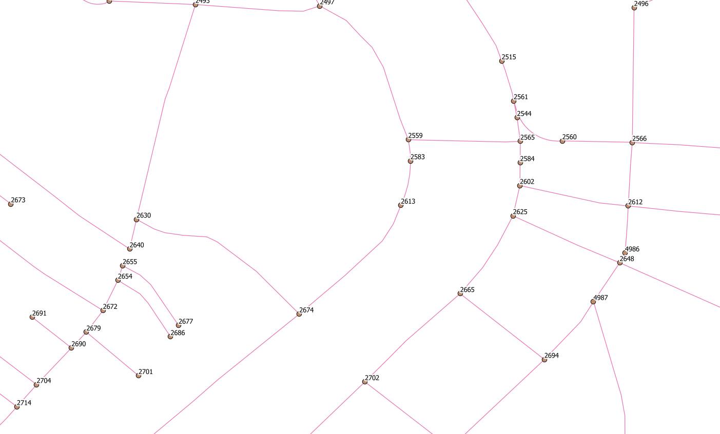
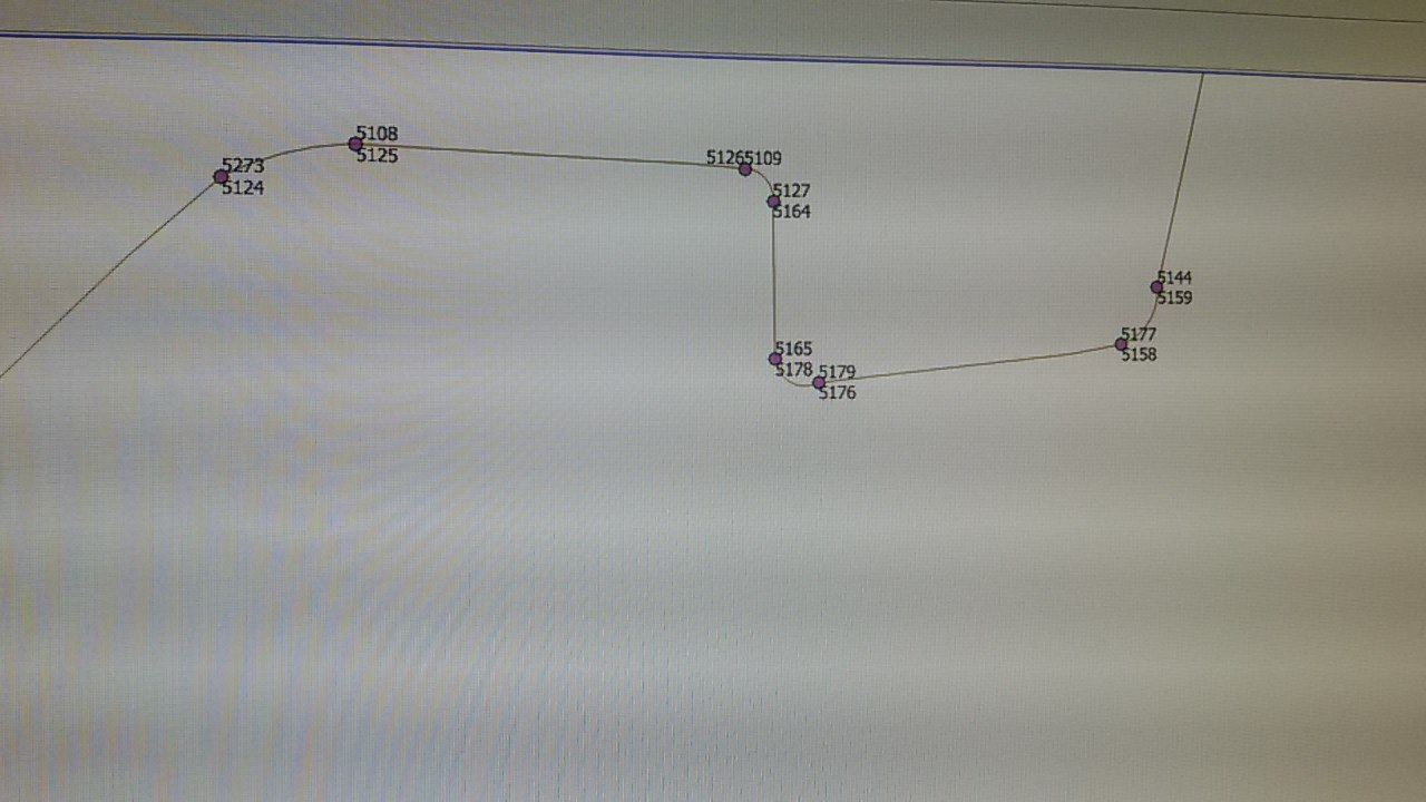
My road data structure is showing below;
– Table: public.ways
– DROP TABLE public.ways;
CREATE TABLE public.ways
(
gid integer NOT NULL DEFAULT nextval(‘ways_gid_seq’::regclass),
the_geom geometry(MultiLineString,3857),
source integer,
target integer,
reverse_cost double precision,
length double precision,
x1 double precision,
y1 double precision,
x2 double precision,
y2 double precision,
CONSTRAINT ways_pkey PRIMARY KEY (gid)
)
WITH (
OIDS=FALSE
);
ALTER TABLE public.ways
OWNER TO postgres;
– Index: public.source_idx
– DROP INDEX public.source_idx;
CREATE INDEX source_idx
ON public.ways
USING btree
(source);
– Index: public.target_idx
– DROP INDEX public.target_idx;
CREATE INDEX target_idx
ON public.ways
USING btree
(target);
– Index: public.ways_geom_gist
– DROP INDEX public.ways_geom_gist;
CREATE INDEX ways_geom_gist
ON public.ways
USING gist
(the_geom);
– Index: public.ways_source_idx
– DROP INDEX public.ways_source_idx;
CREATE INDEX ways_source_idx
ON public.ways
USING btree
(source);
– Index: public.ways_target_idx
– DROP INDEX public.ways_target_idx;
CREATE INDEX ways_target_idx
ON public.ways
USING btree
(target);
What I am missing, any ideas?
Bomp
■□■□■□■□■□■□■□■□■
Sittichai Choosumrong (Ph.D)
Lecturer at Faculty of Agriculture, Natural Resources and Environment,
Department of Natural Resources and Environment,
Geography
99 Moo 9 Tambon Tha Pho,
Amphoe Muang
Phitsanulok Thailand 65000
Office: +66 55 962753
Mobile: +66 95-635-8102
email: sittichaic@nu.ac.th
■□■□■□■□■□■□■□■□■