I’m not sure if this is a GRASS issue or a QGIS issue, but I start here. Visually, there is no issue in GRASS, but there is an issue in QGIS.
I’m working with two grids and trying to reproject between the two and map cell areas via a third grid.
Grid E (red) is a global EPSG:4326 lat/lon grid that is built on the equirectangular projection, meaning the horizontal lines follow latitude bands and not the great circle.
Grid P (blue) is a polar grid on EPSG:3031.
I’m building an exchange grid X (black) which is the intersection of the two using v.proj and then v.overlay.
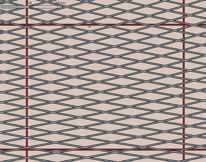
When I export to GeoPackage and view all three grids QGIS in EPSG:4326 everything looks correct. See image above, which shows all three grids (red E, blue P, and black X). The exchange grid (black X) is shown to perfectly match all the other grids here, lying directly underneath them.
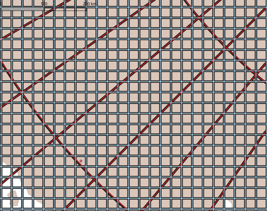
When I view this same region in EPSG:3031, it does not look correct. The same large red E grid cell is shown above, and then the cell with the dot is in below.
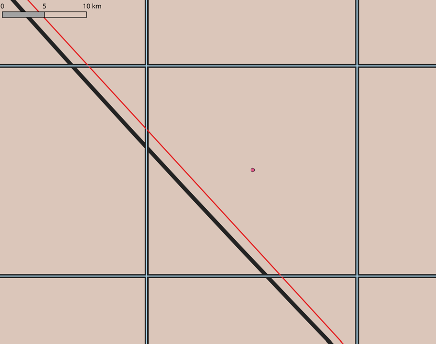
Zoomed out things look OK, the black X grid is aligned under the other two. But zoomed in, it is clear that the X and E grids do not overlap. I believe the curved black X grid follows a latitude band, and the straight red E line is a great circle between the two corners of that grid cell.
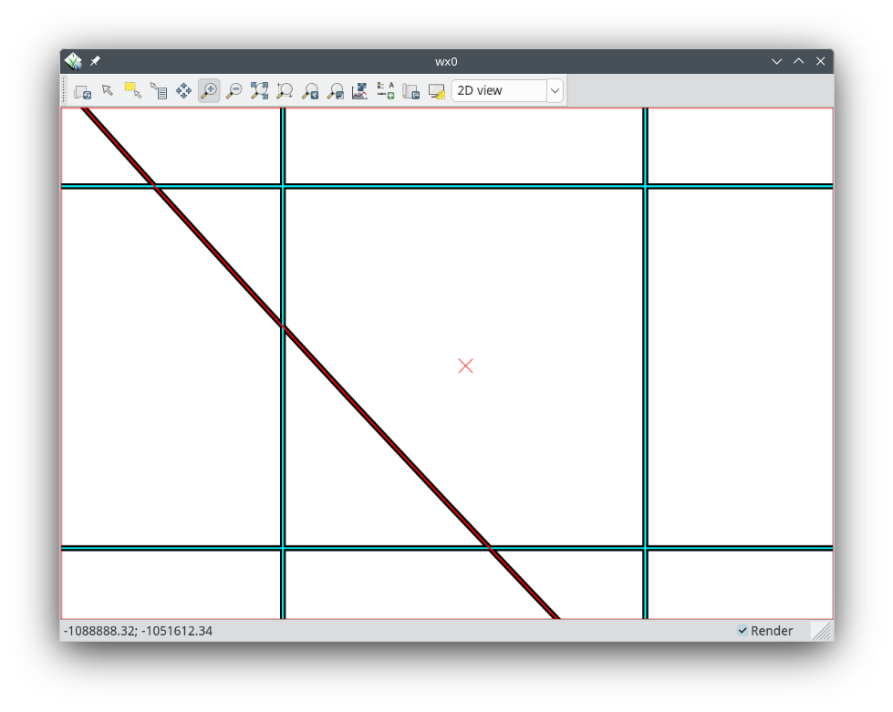
If I view this same region in GRASS, all lines correctly overlap:
I don’t particularly care about the graphics. But I’m using GRASS “v.to.db map=X option=area units=meters columns=area” and I need the area to be computed correctly.
Does anyone know where the problem is here? Should this issue be raised with QGIS? With GDAL which I believe exports from GRASS to the GeoPackage? Somewhere else? Or no issue if area is correct, and this is a design decision of an underconstrained system that is intention and hopefully documented somewhere?
Thanks,
-k.